
All the versions of this article: [English] [français]
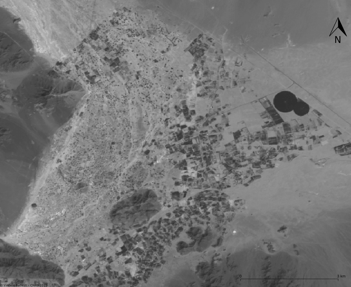
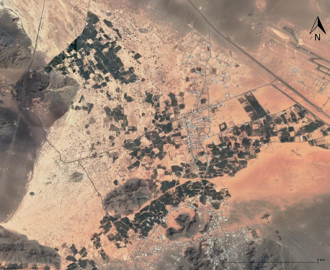
– Test of the JuxtaposeJS slider tool for a comparison of the agricultural area of Muġayrā’ (al-‘Ulā, KSA) between 1986 (SPOT satellite photo 14-04-1986) and 2023 (CNES Airbus/Landsat satellite photo).
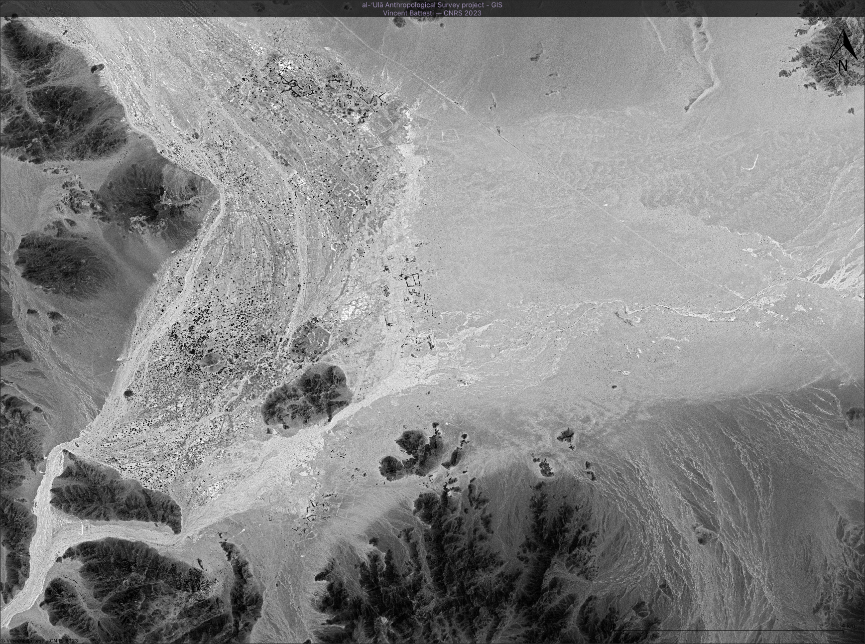
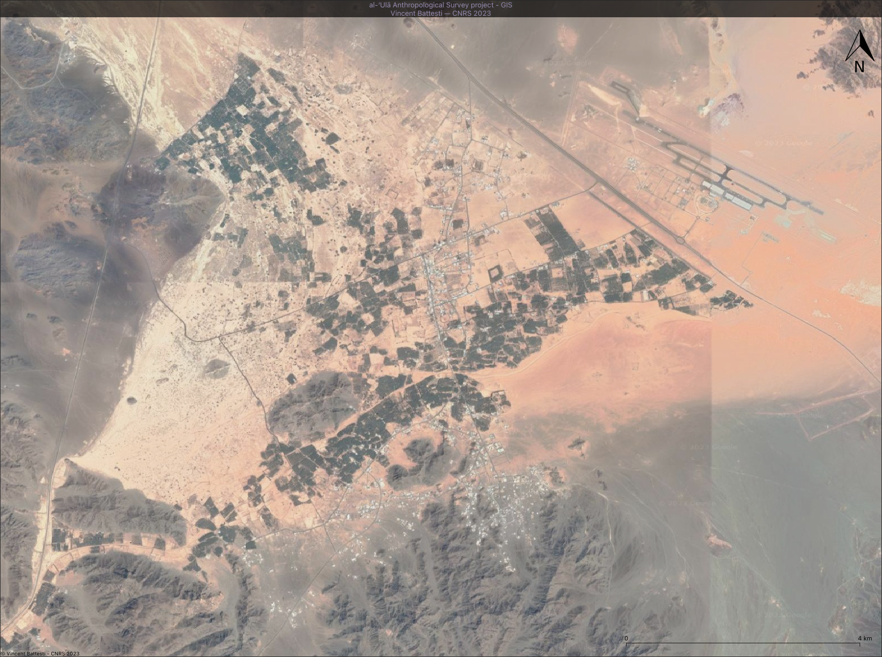
– Another slider example for the entire Muġayrā’ area (al-‘Ulā, KSA) between 1972 (USGS Declass 1 photo - May 26, 1972) and 2023 (Airbus satellite photo, CNES/Airbus Maxar technologies).
Portfolio
Published on
14 September 2023
- Updated on
3 February 2024